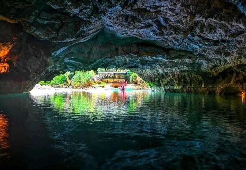
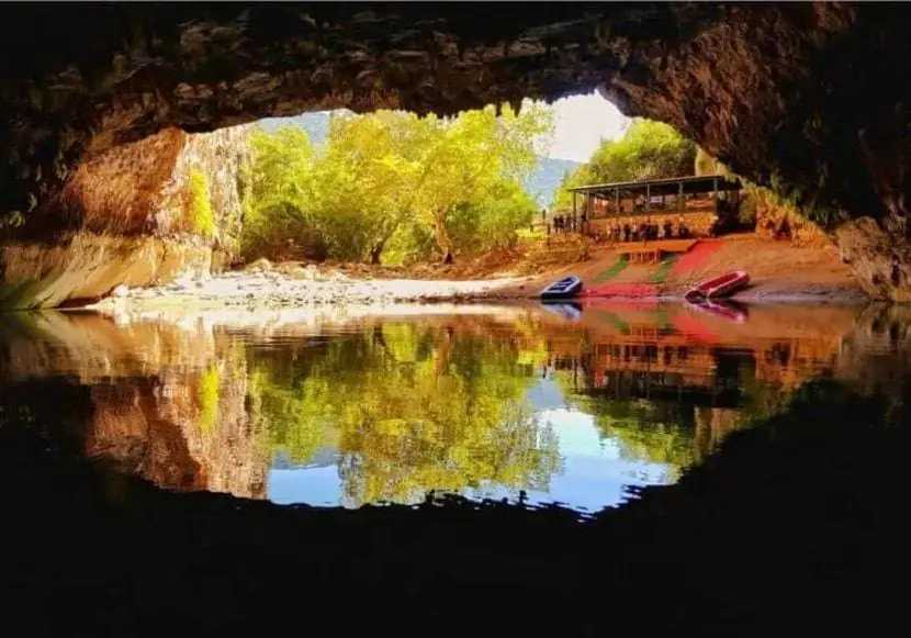
Altinbesik Cave National Park is situated in the Mediterranean area of Turkey inside the province of Antalya. In 1994 Altinbesik Cave was named a national park with its environs. The National Park contains cedar, junipers, tree types with red heads and various flora. There are also no noteworthy animal communities in the area. Wild animals including wild boar, fox, wolves and goats are, however, to be found.
Altinbesik Cave

The Altinbesik Cave, which derives from Altonbesik Hill at the upper side of the cave, is a horizontal, and partially active system of cave. The geologic and geomorphological structure of this Taurus Mountains region is exceedingly complicated, with geological overlaps, great rotations and deep valleys. The grotto in the upper Creoste was excavated from the old calcareous.
In the surface research of the Oymapinar Dam on Manavgat River in 1966 Altinbesik caves was first identified and examined. Horizontal and partially active with a length of 2500 m. The cave’s highest entry point is 101 metres. Because to the cave’s time and even in dry seasons, a vast extent of pools may be observed at the lower and middle levels. The top level is dry all the time. The cave is highly humid and the air is about 16 to 18 degrees Celsius.
♦ 5 Days Turkey Tour – Istanbul Antalya Tour
The Beauty of Altinbesik Cave National Park
In the upper Creosote, the Altinbesik cave was carved in a calcareous stone. Underground are many caverns and lakes. The lakes are on different levels, which lead to eascades. The grottoes show huge stalagtites and stalagmites. The existing creation of the lakes and caves took millions of years. The theory of its genesis is as follows: the calcareous composition of this mountainous zone leads to water melting and small cavities in certain parts after chemical reactions.

Over time, the caverns got bigger and became caves due to the harmful effects of the water. This process has been ongoing until today. Those who are interested and hardy climbers will receive an unequalled view of beauty.
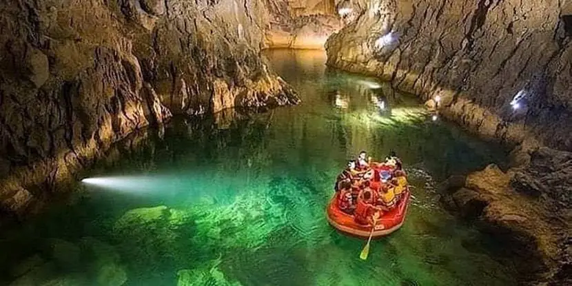
Altinbesik Cave National Park got one of the world’s most extraordinary underground lakes. It was constructed at 3 levels, and in the rainy seasons both the bottom and the middle levels are active while the top is always dry. With an understory river, rimstone pools and waterfalls, the lowest level still operates. That is why the Altinbesi Waterfall (Altınbeşik Düdeni) is frequently called. The Altinbesik cave functions as a subterranean stream that releases subsurface water. There are several standing ponds in autumn, and there are many rivers in spring from the cave’s lower and middle level.
Stalactites and stalagmites occur in the upper level. From the resurgence via boat you can visit the Altinbesik Cave till you reach a 44-m-high travertine barrier. The first lake with a length of 125 m and a depth of up to 9 m is followed by a section of different forms. The gateway of entry is 40 metres wide and 40 metres high. The highest point of Altinbesik Cave is 101m.
♦ 11 Day Turkey Tour With 4 Days Blue Cruise
The underneath lake gathers the Manavgat’s spring waters before it becomes a river, which can also be crossed with a boat as a natural wonder. The Cave Lake of Altinbesik is part of the water of the Gembos Lake. Ancient bridge in the cavern and peculiar formations of Altinbesik Cave walls has been created by the water discharging from manavgat river, demonstrating the force of this stream. In other words, the National Park is formed by the untamed beauty and rich vegetation around the cave and karst terrain of Altinbesik.
How to get to Altinbesik Cave National Park

Address: Altinbesik Cave National Park is on the western side of the steep Manavgat Hill, 7km from Ibradi (Aydinkent) district of Antalya, and 5 km southeast of Urunlu village.
Transport: A one-hour walk from Urunlu to the cave will take you through the road Antalya – Ibradi – Urunlu.

